ડુંગરો
Hills near Nakhatrana
Four hills rise within about 30 km of Nakhatrana, led by Dhinodhar, the 361-metre hill on the Tropic of Cancer with Guru Dharamnath’s shrine at the top.
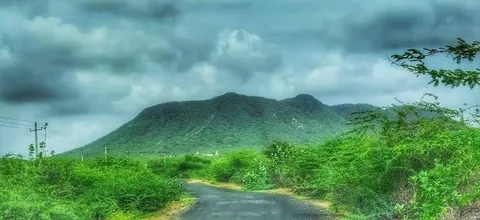
Which hills are near Nakhatrana?
Four hills lie within about 30 km of Nakhatrana in a straight line: Bhikhurushi (10 km), Dhinodhar (15 km), Nanamo (17 km) and Varar (30 km). Dhinodhar is the tallest at 361 metres and the most visited, with a shrine to Guru Dharamnath on its summit and the Tropic of Cancer crossing its southern tip.
| Place | From Nakhatrana | Area |
|---|---|---|
| Bhikhurushi | 10 km SE | Sukhsan |
| Dhinodhar Hill | 15 km NNE | Than, Nakhatrana taluka |
| Nanamo Hill | 17 km SSE | Kutch |
| Varar Hill | 30 km E | near Sumarasar and Kamaguna |
What do the hills near Nakhatrana look like?
Photos from the hills around Nakhatrana: sunset over the plains from a stepped summit path, a hilltop shrine reached by a winding road, slopes turned green by the monsoon and a table-top hill in the dry season. The hills are greenest from July to September and clearest for climbing from October to February.
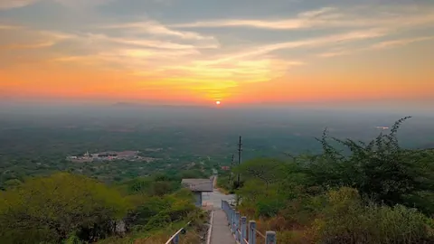
Summit sunset 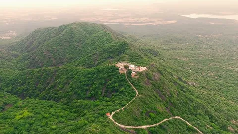
Hilltop shrine and road 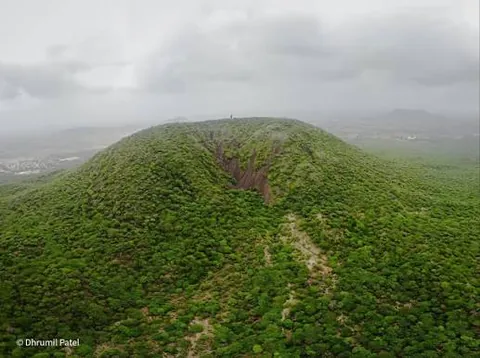
Monsoon green 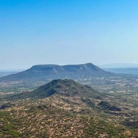
Table-top hill
Dhinodhar Hill
Dhinodhar Hill is a 361-metre (1,190 ft) hill with a shrine to Guru Dharamnath at its summit, on the road from Nakhatrana to Nani Aral. The Tropic of Cancer passes its southern tip (Wikipedia). Some local sources give its height as about 386 metres. It is 15 km north-north-east of Nakhatrana in a straight line.
- What it is
- Hill
- Where
- Than, Nakhatrana taluka, Kutch district, Gujarat
- Distance from Nakhatrana
- 15 km north-north-east in a straight line
- By road
- About 20 km by road (Wikipedia)
- Best season
- July to September for green slopes; October to February for cool climbs.
- Timings and entry
- Outdoor site; start early and carry water.
- Nearby
- Than Jagir, Chhari Dhand
- Directions
- Google Maps directions from Nakhatrana
Bhikhurushi
Bhikhurushi is a hill near Sukhsan village, south of Nakhatrana, topped by the Bhikhurushi shrine. It belongs to the same western Kutch tradition of hero and saint worship as the Yaksh shrines nearby, and makes a short outing from town. It is 10 km south-east of Nakhatrana in a straight line.
- What it is
- Hill
- Where
- Sukhsan, Kutch district, Gujarat
- Distance from Nakhatrana
- 10 km south-east in a straight line
- By road
- By car or taxi from Nakhatrana. Open the directions link for the current route and road distance.
- Best season
- July to September for green slopes; October to February for cool climbs.
- Timings and entry
- Outdoor site; start early and carry water.
- Directions
- Google Maps directions from Nakhatrana
Nanamo Hill
Nanamo Hill rises south of Nakhatrana, a short drive from town, and is popular for quick climbs and wide views over the farmland of central Kutch. It is greenest after the July to September monsoon. It is 17 km south-south-east of Nakhatrana in a straight line.
- What it is
- Hill
- Where
- Kutch district, Gujarat
- Distance from Nakhatrana
- 17 km south-south-east in a straight line
- By road
- By car or taxi from Nakhatrana. Open the directions link for the current route and road distance.
- Best season
- July to September for green slopes; October to February for cool climbs.
- Timings and entry
- Outdoor site; start early and carry water.
- Directions
- Google Maps directions from Nakhatrana
Varar Hill
Varar Hill stands near Sumarasar and Kamaguna villages, due east of Nakhatrana on the side towards Bhuj, which makes it an easy stop on the way in or out of town. It is 30 km east of Nakhatrana in a straight line.
- What it is
- Hill
- Where
- near Sumarasar and Kamaguna, Kutch district, Gujarat
- Distance from Nakhatrana
- 30 km east in a straight line
- By road
- By car or taxi from Nakhatrana. Open the directions link for the current route and road distance.
- Best season
- July to September for green slopes; October to February for cool climbs.
- Timings and entry
- Outdoor site; start early and carry water.
- Nearby
- Nirona
- Directions
- Google Maps directions from Nakhatrana
Frequently asked questions
How high is Dhinodhar Hill?
Dhinodhar Hill is 361 metres (1,190 feet) high, according to Wikipedia’s Nakhatrana taluka article, which makes it the tallest of the four hills near Nakhatrana. Some local sources give a height of about 386 metres. It lies 15 km north-north-east of town in a straight line and about 20 km by road.
Does the Tropic of Cancer pass near Nakhatrana?
Yes. The Tropic of Cancer, the line of latitude at about 23.4° north, passes the southern tip of Dhinodhar Hill in Nakhatrana taluka (Wikipedia). Nakhatrana town itself sits at about 23.35° north, only a few kilometres south of the line, so a trip to Dhinodhar takes you across it.
Which hill is closest to Nakhatrana town?
Bhikhurushi, near Sukhsan village, is the closest hill at 10 km in a straight line, followed by Dhinodhar at 15 km and Nanamo at 17 km. Varar Hill, 30 km to the east, sits on the Bhuj side of town, so it fits easily into the drive in or out of Nakhatrana.
When is the best time to climb the hills near Nakhatrana?
July to September is the best time to see the hills green after the monsoon, and October to February is best for cool, clear climbs. Avoid midday between March and June, when temperatures in the region can pass 40°C. Start early, carry water and wear shoes with grip, because paths can be rocky and loose.
Can you visit Dhinodhar Hill and Than Jagir on the same trip?
Yes. Than Jagir, the monastery estate linked to Guru Dharamnath and the Kanphata Nath yogis, stands at the foot of Dhinodhar Hill at Than. Most visitors see the monastery and then climb to the summit shrine, so plan half a day from Nakhatrana for both.