જોવાલાયક સ્થળો
Places to Visit near Nakhatrana
43 places in 10 categories, from the white Rann and Harappan towns to Jain tirths, craft villages and Kutch’s best beaches, all measured from Nakhatrana and linked to Google Maps directions.
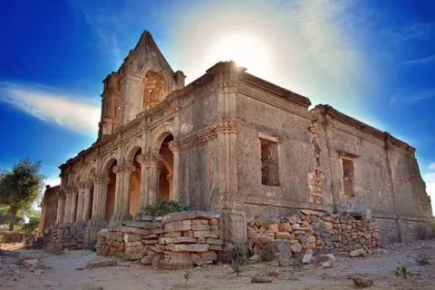
Key takeaways
- 12 of the measured places are within 40 km of Nakhatrana in a straight line.
- Western Kutch’s headline sights, the white Rann, Narayan Sarovar, Lakhpat and Mandvi, all sit within about 85 km.
- Two Harappan settlements, Desalpar Gunthli and Khirasara, are inside Nakhatrana taluka.
- Distances are straight-line from the town centre; road routes are longer.
Where are the places near Nakhatrana?
Nakhatrana sits at the centre of western Kutch, so places fan out in every direction. Of the 17 places plotted on the wheel, 5 are within 20 km and 14 within 60 km in a straight line. The Rann lies north, the far western shrines north-west, the Abdasa coast south-west and Mandvi due south.
- Beaches
- Hills
- Religious Places
- Archaeological Sites
- Natural Escapes
- Handicraft Hubs
- Bhuj
Directions and straight-line distances from the centre of Nakhatrana, read from Google Maps. Rings are 20 km apart on a square-root scale. Road distances are longer.
What kinds of places are near Nakhatrana?
This guide groups 43 places into 10 types: beaches, hills, historical places, religious places, archaeological sites, royal estates, natural escapes, handicraft villages, museums and food trails. Religious places are the largest group, with nine, and natural escapes next with seven. Each type has its own page with distances and directions.
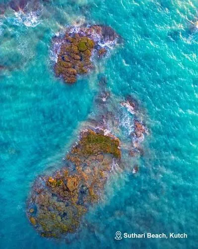 Beaches4 placesSuthari Beach, Mandvi Beach, Chhachhi Beach, Pingleshwar Beach
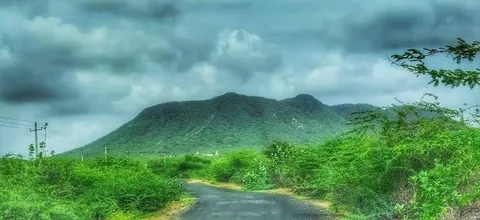 Hills4 placesBhikhurushi, Dhinodhar Hill, Nanamo Hill, Varar Hill
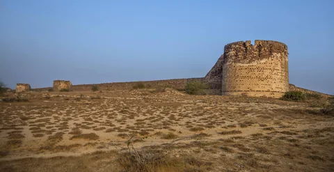
 Historical Places4 placesThan Jagir, Roha Fort, Veer Jam Abda Adbhang Dada, Zara (Jara)
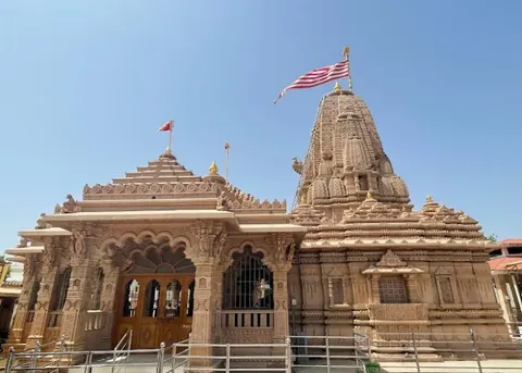 Religious Places9 placesYaksh 72 (Jakh Botera), Tera Jain Tirth, Hajipir, Suthari Jain Tirth, Lakhpat, Narayan Sarovar, Mata no Madh, Koteshwar Mahadev, Vandhay
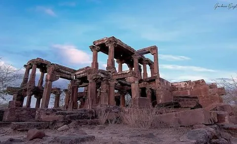 Archaeological Sites4 placesPaddhar Gadh, Desalpar Gunthli, Khirasara, Siyot Caves
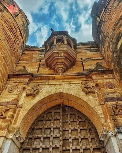 Royal Families2 placesTera Darbargadh, Devpar
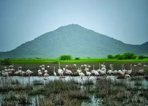 Natural Escapes7 placesChhari Dhand, Dhordo, Jatavira, Kadiya Dhro, Banni Grassland Reserve, Guneri Mangroves, Chadva Rakhal
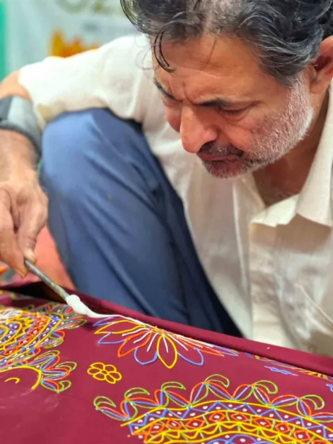 Handicraft Hubs3 placesNirona, Virani, Bhadli
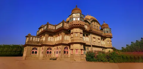 Museums & Collections3 placesVijay Vilas Palace, Kutch Fossil Park, Shyamji Krishna Varma Memorial
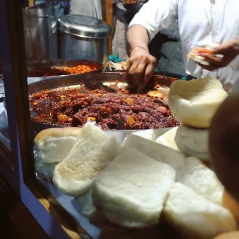 Food Trails3 placesNakhatrana Dabeli & Chaats, Bhajiyas & Vadas, Sweet Mava
How far is each place from Nakhatrana?
The table lists every measured place by straight-line distance from the centre of Nakhatrana, closest first. Bhikhurushi is the nearest at 10 km and Narayan Sarovar the farthest at 83 km. Road distances are longer and depend on the route, so open each place’s directions link before setting out.
| Place | Type | Distance |
|---|---|---|
| Bhikhurushi | Hills | 10 km SE |
| Yaksh 72 (Jakh Botera) | Religious Places | 12 km SE |
| Dhinodhar Hill | Hills | 15 km NNE |
| Nanamo Hill | Hills | 17 km SSE |
| Desalpar Gunthli | Archaeological Sites | 17 km NW |
| Chhari Dhand | Natural Escapes | 29 km NNE |
| Nirona | Handicraft Hubs | 29 km ENE |
| Varar Hill | Hills | 30 km E |
| Tera Jain Tirth | Religious Places | 34 km W |
| Tera Darbargadh | Royal Families | ≈34 km W |
| Khirasara | Archaeological Sites | 36 km SW |
| Hajipir | Religious Places | 39 km N |
| Suthari Beach | Beaches | 54 km SW |
| Suthari Jain Tirth | Religious Places | ≈54 km SW |
| Dhordo | Natural Escapes | 55 km NNE |
| Mandvi Beach | Beaches | 58 km S |
| Siyot Caves | Archaeological Sites | 62 km NW |
| Lakhpat | Religious Places | 73 km NW |
| Narayan Sarovar | Religious Places | 83 km WNW |
Not yet measured (use each place’s directions link): Chhachhi Beach, Pingleshwar Beach, Than Jagir, Roha Fort, Veer Jam Abda Adbhang Dada, Zara (Jara), Mata no Madh, Koteshwar Mahadev, Vandhay, Paddhar Gadh, Devpar, Jatavira, Kadiya Dhro, Banni Grassland Reserve, Guneri Mangroves, Chadva Rakhal, Virani, Bhadli, Vijay Vilas Palace, Kutch Fossil Park, Shyamji Krishna Varma Memorial, Nakhatrana Dabeli & Chaats, Bhajiyas & Vadas, Sweet Mava.
How can you see western Kutch from Nakhatrana in three days?
Three days from a base in Nakhatrana cover the essentials of western Kutch. Day one heads north via Dhinodhar and Nirona to the white Rann at Dhordo. Day two goes to the far west: Mata no Madh, Lakhpat, Koteshwar and Narayan Sarovar. Day three takes in Harappan Desalpar, Yaksh 72 and Mandvi’s palace and beach.
- Day 1: north to the white RannClimb Dhinodhar early and see the Than monastery at its foot, then drive east to Nirona for Rogan art and bell-metal workshops. Continue north to Dhordo to reach the white Rann by late afternoon and stay for sunset. Stops: Dhinodhar Hill → Than Jagir → Nirona → Dhordo.
- Day 2: the far westLeave at first light for Mata no Madh, then the Siyot Caves and the walled town of Lakhpat on Kori Creek. End the day at Koteshwar Mahadev and Narayan Sarovar on the western edge of India. Stops: Mata no Madh → Siyot Caves → Lakhpat → Koteshwar Mahadev → Narayan Sarovar.
- Day 3: Harappans, heroes and the seaSee the Harappan site at Desalpar Gunthli and the Yaksh 72 temple close to town, then drive south to Mandvi for Vijay Vilas Palace and the beach. Return to Nakhatrana for spicy dabeli in the evening. Stops: Desalpar Gunthli → Yaksh 72 (Jakh Botera) → Vijay Vilas Palace → Mandvi Beach → Nakhatrana Dabeli & Chaats.
Drive times depend on the route and season; check each directions link the evening before.
How do you get around to places near Nakhatrana?
A private car or a hired taxi from Nakhatrana is the practical way to reach most places in this guide, because many are in villages or open country away from bus routes. Start early, carry water, and keep the directions link for each place handy, since mobile signal can be weak near the Rann and the far west.
State transport (GSRTC) buses link Nakhatrana with Bhuj and larger towns; see how to reach Nakhatrana for routes into town.
Frequently asked questions
What are the best places to visit near Nakhatrana?
For a first visit, the essentials are the white Rann at Dhordo, Dhinodhar Hill on the Tropic of Cancer, the Rogan art village of Nirona, Mata no Madh, Narayan Sarovar and Koteshwar in the far west, the walled town of Lakhpat, the Harappan site at Desalpar Gunthli, and Mandvi’s beach and palace. Add an evening of Nakhatrana’s famous spicy dabeli.
How many places are there to visit near Nakhatrana?
This guide lists 43 places in 10 categories: 4 beaches, 4 hills, 4 historical places, 9 religious places, 4 archaeological sites, 3 royal estates, 7 natural escapes, 3 handicraft villages, 3 museums and collections, and 3 food stops. Every place has a Google Maps directions link from Nakhatrana, and measured places show their straight-line distance and direction.
What is the closest tourist place to Nakhatrana?
Of the places measured so far, Bhikhurushi is the closest at 10 km in a straight line, followed by Yaksh 72 at 12 km and Dhinodhar Hill at 15 km. The food stops for dabeli, bhajiyas and sweet mava are in Nakhatrana town itself, so you do not need to drive anywhere for those.
How many days do you need to see places near Nakhatrana?
Three full days cover the highlights: one day north to Dhinodhar, Nirona and the white Rann, one day to the far west for Mata no Madh, Lakhpat, Koteshwar and Narayan Sarovar, and one day for Desalpar, Yaksh 72 and Mandvi. Add a day or two for craft villages, birding at Chhari Dhand and quieter beaches.
Is Nakhatrana a good base for exploring Kutch?
Yes, especially for western Kutch. Nakhatrana sits between Bhuj and the far west, so the white Rann, Narayan Sarovar, Lakhpat, the Abdasa coast and Mandvi are all within about 85 km in a straight line. 12 of the places measured in this guide are within 40 km. Bhuj, about 42 km east-south-east, has the nearest airport and railway station.
Are the distances on this page road distances?
No. Distances are straight-line ("as the crow flies") from the centre of Nakhatrana, calculated from the coordinates in each Google Maps link. Road distances are always longer, sometimes by a third or more, because roads go around the Rann, hills and creeks. Use each place’s directions link for the current road route and driving time.